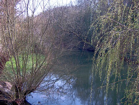
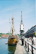
River Frome, Bristol

The Frome , historically the Froom, is a river that rises in Dodington Park, South Gloucestershire, and flows southwesterly through Bristol to join the river Avon. It is approximately 20 miles (32 km) long, and the mean flow at Frenchay is 60 cubic feet per second (1.7 m3/s). The name Frome is shared with several other rivers in South West England and means 'fair, fine, brisk'. The river is known locally in east Bristol as the Danny. As with many urban rivers, the Frome has suffered from pollution, but several stretches run through parks and reserves that sustain a range of wildlife. The river's power was harnessed by many watermills, and the river mouth area was developed as shipyards by the eighteenth century. As the city of Bristol developed in the nineteenth and twentieth centuries, flooding became a major problem, remedied by the construction of storm drains and diversions.
Excerpt from the Wikipedia article River Frome, Bristol (License: CC BY-SA 3.0, Authors, Images).River Frome, Bristol
Bordeaux Quay, Bristol City Centre
Geographical coordinates (GPS) Address Nearby Places Show on map
Geographical coordinates (GPS)
| Latitude | Longitude |
|---|---|
| N 51.4489 ° | E -2.5983 ° |
Address
Bordeaux Quay
BS1 5EP Bristol, City Centre
England, United Kingdom
Open on Google Maps


