Weston Underwood, Derbyshire
Civil parishes in DerbyshireDerbyshire geography stubsGeography of Amber ValleyVillages in Derbyshire

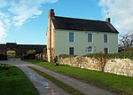
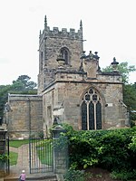
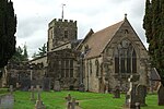
Weston Underwood is an agricultural village and civil parish in the Amber Valley district of Derbyshire. The population of the Civil Parish (comprising the Villages of Weston Underwood, Muggington and Muggington Lane End) as taken at the 2011 Census was 374. It is just over five miles (8 km) from Derby. Nearby places are Mugginton, Kedleston Hall and Carsington Water.
Excerpt from the Wikipedia article Weston Underwood, Derbyshire (License: CC BY-SA 3.0, Authors, Images).Weston Underwood, Derbyshire
Cutler Lane, Amber Valley
Geographical coordinates (GPS) Address Nearby Places Show on map
Geographical coordinates (GPS)
| Latitude | Longitude |
|---|---|
| N 52.979 ° | E -1.566 ° |
Address
Cutler Lane
Cutler Lane
DE6 4PF Amber Valley
England, United Kingdom
Open on Google Maps


