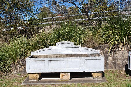
Warrimoo, New South Wales
Suburbs of the City of Blue MountainsTowns in New South WalesUse Australian English from August 2012

Warrimoo (formerly Karabar) is a medium-sized village in the lower Blue Mountains of New South Wales, Australia, 273 metres above sea level. The state government's electorate is Blue Mountains and the state member is Labor's Trisha Lee Doyle. Federally, the electorate is Macquarie and the federal member is Labor's Susan Templeman. Warrimoo is located 68 kilometres west of Sydney, in the local government area of the City of Blue Mountains. Local council Mayor is Labor's Mark Greenhill. Warrimoo borders the townships/suburbs of Blaxland, Mount Riverview, Sun Valley and Valley Heights. The suburb is 5 train stops from Penrith and 11 train stops to Katoomba.
Excerpt from the Wikipedia article Warrimoo, New South Wales (License: CC BY-SA 3.0, Authors, Images).Warrimoo, New South Wales
Florabella Street, Sydney
Geographical coordinates (GPS) Address Nearby Places Show on map
Geographical coordinates (GPS)
| Latitude | Longitude |
|---|---|
| N -33.727124 ° | E 150.599413 ° |
Address
Florabella Street
2774 Sydney
New South Wales, Australia
Open on Google Maps


