Laguna Niguel, California

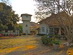
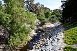
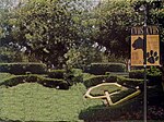
Laguna Niguel () is a city in Orange County, California, United States. The name Laguna Niguel is derived from the words "Laguna" (Spanish for "lagoon") and "Niguili" (the name of a Native American village once located near Aliso Creek). As of the 2020 census, the population was 64,355. Laguna Niguel is located in the San Joaquin Hills in the southeastern corner of Orange County, close to the Pacific Ocean, and borders the cities of Aliso Viejo, Dana Point, Laguna Beach, Laguna Hills, Mission Viejo, and San Juan Capistrano. Laguna Niguel has its origins in the Rancho Niguel Mexican land grant, which was acquired in 1959 by the Laguna Niguel Corporation to develop one of California's first master-planned communities. As a predominantly residential city, Laguna Niguel serves as a bedroom community for the job centers of northern and central Orange County. Laguna Niguel has a median household income 31 percent above the Orange County average and nearly double the U.S. average. It is known for its mild coastal climate, low crime rate, and its numerous parks and public trails.
Excerpt from the Wikipedia article Laguna Niguel, California (License: CC BY-SA 3.0, Authors, Images).Laguna Niguel, California
Rue de Monet,
Geographical coordinates (GPS) Address Nearby Places Show on map
Geographical coordinates (GPS)
| Latitude | Longitude |
|---|---|
| N 33.531944444444 ° | E -117.7025 ° |
Address
Rue de Monet 24475
92677
California, United States
Open on Google Maps


