Caundle Marsh
Dorset geography stubsVillages in Dorset

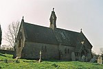
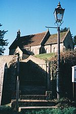
Caundle Marsh is a village and civil parish in northwest Dorset, England, situated in the Blackmore Vale, 4 miles (6.4 km) southeast of Sherborne. The parish includes the hamlet of Tut Hill and the Dorset County Council estimate that in 2013 the population of the parish was 70.
Excerpt from the Wikipedia article Caundle Marsh (License: CC BY-SA 3.0, Authors, Images).Caundle Marsh
A3030,
Geographical coordinates (GPS) Address Nearby Places Show on map
Geographical coordinates (GPS)
| Latitude | Longitude |
|---|---|
| N 50.919 ° | E -2.461 ° |
Address
A3030
DT9 5JS , Caundle Marsh
England, United Kingdom
Open on Google Maps


