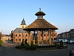
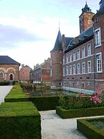
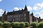
Arrondissement of Tongeren

The Arrondissement of Tongeren (Dutch: Arrondissement Tongeren; French: Arrondissement de Tongres) is one of the three administrative arrondissements in the Province of Limburg, Belgium. It is both an administrative and a judicial arrondissement. However, the Judicial Arrondissement of Tongeren comprises the municipalities of Tongeren, Bocholt, Bree, Kinrooi, Meeuwen-Gruitrode, Dilsen-Stokkem and Maaseik in the Arrondissement of Maaseik and the municipalities of As, Genk, Opglabbeek and Zutendaal in the Arrondissement of Hasselt. The arrondissement was created in 1839 to form the Belgian part of the former arrondissement of Maastricht, which ceased to exist due to the splitting of Limburg. The canton of Borgloon was also moved from the arrondissement of Hasselt to the new arrondissement of Tongeren.
Excerpt from the Wikipedia article Arrondissement of Tongeren (License: CC BY-SA 3.0, Authors, Images).Arrondissement of Tongeren
Coolenbroekstraat,
Geographical coordinates (GPS) Address Nearby Places Show on map
Geographical coordinates (GPS)
| Latitude | Longitude |
|---|---|
| N 50.85 ° | E 5.5 ° |
Address
Coolenbroekstraat
Coolenbroekstraat
3730 (Hoeselt)
Limburg, Belgium
Open on Google Maps


