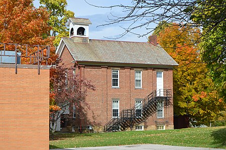
Damascus, Ohio
1808 establishments in OhioCensus-designated places in Columbiana County, OhioCensus-designated places in Mahoning County, OhioNortheastern Ohio geography stubsUse mdy dates from July 2023

Damascus is an unincorporated community and census-designated place in southern Mahoning and northern Columbiana counties in the U.S. state of Ohio. As of the 2020 census, it had a population of 418. The community lies at the intersection of U.S. Route 62 and State Routes 173 and 534.The community is located in southwestern Goshen Township in Mahoning County and northwestern Butler Township in Columbiana County. Damascus has a post office, with the ZIP code of 44619. It is part of the Youngstown–Warren metropolitan area and the Salem micropolitan area.
Excerpt from the Wikipedia article Damascus, Ohio (License: CC BY-SA 3.0, Authors, Images).Damascus, Ohio
Morris Street,
Geographical coordinates (GPS) Address Nearby Places Show on map
Geographical coordinates (GPS)
| Latitude | Longitude |
|---|---|
| N 40.901111111111 ° | E -80.955 ° |
Address
Morris Street
44619
Ohio, United States
Open on Google Maps


