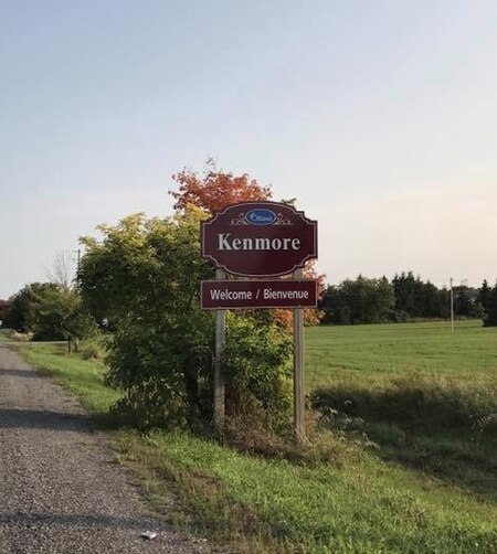
Kenmore, Ontario

Kenmore is a rural community in Osgoode Ward in the southeastern corner of the City of Ottawa, Ontario, Canada. Prior to amalgamation in 2001, it was located in Osgoode Township. It consists of two small residential neighbourhoods and farmland. Notable features include Kenmore Bicentennial Park, Kenmore Community Centre, and the Castor River, a tributary of the South Nation River. According to the Canada 2011 Census, the population of the surrounding blocks was 501. Significant local events include the Royal Canadian Legion honouring of war dead with a Remembrance Service every November at the Kenmore cenotaph. There is a Kenmore Women's Institute, and the Kenmore Community Association meets regularly at Kenmore Hall.
Excerpt from the Wikipedia article Kenmore, Ontario (License: CC BY-SA 3.0, Authors, Images).Kenmore, Ontario
York's Corners Road, Ottawa Osgoode
Geographical coordinates (GPS) Address Show on map
Geographical coordinates (GPS)
| Latitude | Longitude |
|---|---|
| N 45.23175 ° | E -75.416819444444 ° |
Address
York's Corners Road
York's Corners Road
K4R 1E1 Ottawa, Osgoode
Ontario, Canada
Open on Google Maps