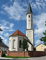
Höhenkirchen-Siegertsbrunn
Munich (district)Municipalities in BavariaUpper Bavaria geography stubs

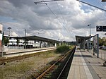
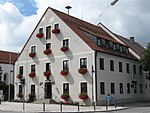
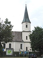
Höhenkirchen-Siegertsbrunn is a municipality in Upper Bavaria, situated south of Munich. It is one of the municipalities with the longest names in Germany, the longest being Hellschen-Heringsand-Unterschaar.
Excerpt from the Wikipedia article Höhenkirchen-Siegertsbrunn (License: CC BY-SA 3.0, Authors, Images).Höhenkirchen-Siegertsbrunn
Kirchenweg,
Geographical coordinates (GPS) Address Nearby Places Show on map
Geographical coordinates (GPS)
| Latitude | Longitude |
|---|---|
| N 48.016666666667 ° | E 11.733333333333 ° |
Address
Kirchenweg
Kirchenweg
85635 , Siegertsbrunn
Bavaria, Germany
Open on Google Maps
