Setúbal

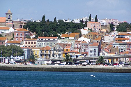
Setúbal (, US also , Portuguese: [sɨˈtuβal, -βɐl] ; Proto-Celtic: *Caetobrix) is a city and a municipality in Portugal. The population of the entire municipality in 2014 was 118,166, occupying an area of 230.33 km2 (88.9 sq mi). The city itself had 89,303 inhabitants in 2001. It lies within the Lisbon metropolitan area, about 50 kilometres (31 miles) from Lisbon downtown by road. In the times of Al-Andalus the city was known as Shaṭūbar (Andalusian Arabic: شَطُوبَر [ʃeˈtˤuːbɑr]), after the old pre-Roman name of Cetobriga. In the 19th century, the port was called Saint Ubes in English, and Saint-Yves in French. The municipal holiday is 15 September, which marks the date in 1860 when King Pedro V of Portugal officially recognised Setúbal as a city.
Excerpt from the Wikipedia article Setúbal (License: CC BY-SA 3.0, Authors, Images).Setúbal
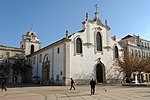
Praça do Bocage, Setúbal
Geographical coordinates (GPS) Address Nearby Places Show on map
Geographical coordinates (GPS)
| Latitude | Longitude |
|---|---|
| N 38.524305555556 ° | E -8.8926111111111 ° |
Address
Praça do Bocage
Praça do Bocage
Setúbal (Setúbal (São Julião, Nossa Senhora da Anunciada e Santa Maria da Graça))
Portugal
Open on Google Maps


