Castle Bromwich

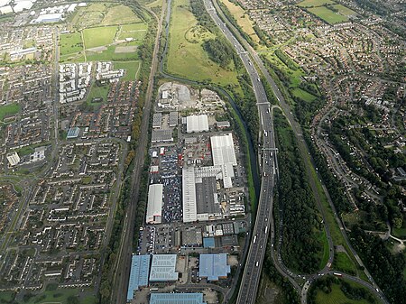
Castle Bromwich () is a village and civil parish in the Metropolitan Borough of Solihull in the West Midlands, England. It borders the rest of the borough to the south east, Sutton Coldfield to the east and north east, Shard End to the south west, Castle Vale, Erdington and Minworth to the north and Hodge Hill to the west. It had a population of 11,857 according to the 2001 census, falling to 11,217 at the 2011 census. The population has remained quite stable since then; the 2017 population estimate was 12,309. It was a civil parish within the Meriden Rural District of Warwickshire until the Local Government Act 1972 came into force in 1974, when it became part of the Metropolitan Borough of Solihull. In 1861, the population was 613. This rose to just over 1,000 in the 1920s, when half of the original parish was ceded to the City of Birmingham for the construction of overspill estates. This caused a drop to 678 (almost the 1861 level). Post Second World War estate building in Castle Bromwich increased the population to 4,356 in 1951, 9,205 in 1961 and 15,941 in 1971. The parish was then split into two, resulting in the lower 2001 figures.
Excerpt from the Wikipedia article Castle Bromwich (License: CC BY-SA 3.0, Authors, Images).Castle Bromwich
Wentworth Avenue,
Geographical coordinates (GPS) Address Nearby Places Show on map
Geographical coordinates (GPS)
| Latitude | Longitude |
|---|---|
| N 52.505 ° | E -1.7856 ° |
Address
St Mary & St Margaret's C of E Primary School
Wentworth Avenue
B36 9AX
England, United Kingdom
Open on Google Maps


