Červený Kláštor
Pages with Slovak IPAPrešov Region geography stubsVillages and municipalities in Kežmarok District

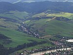
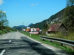
Červený Kláštor (Slovak pronunciation: [ˈtʂerʋeniː ˈklaːʂtɔr], Goral: Švaby) (lit. 'red monastery') is a small village and municipality in the far north Kežmarok District in the Prešov Region of northern Slovakia, near the Polish border, in the Zamagurie region.
Excerpt from the Wikipedia article Červený Kláštor (License: CC BY-SA 3.0, Authors, Images).Červený Kláštor
543,
Geographical coordinates (GPS) Address Phone number Website Nearby Places Show on map
Geographical coordinates (GPS)
| Latitude | Longitude |
|---|---|
| N 49.4 ° | E 20.416666666667 ° |
Address
Autokemping Správy PIENAPu - Červený Kláštor
543
059 06 (Červený Kláštor)
Region of Prešov, Slovakia
Open on Google Maps


