Knittkuhl
Düsseldorf region geography stubsUrban districts and boroughs of Düsseldorf

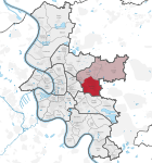
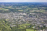
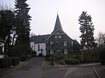
Knittkuhl is an urban quarter (Stadtteil) of Düsseldorf, part of Borough 7. It shares borders with the Düsseldorf quarters Rath, Ludenberg and Hubbelrath, and with the town Ratingen. It has an area of 0.85 km2 (0.33 sq mi), and 2,047 inhabitants (2020). The Stadtteil was established in 2014, when it was separated from Hubbelrath.
Excerpt from the Wikipedia article Knittkuhl (License: CC BY-SA 3.0, Authors, Images).Knittkuhl
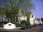
Am Püttkamp, Dusseldorf Knittkuhl (Stadtbezirk 7)
Geographical coordinates (GPS) Address Nearby Places Show on map
Geographical coordinates (GPS)
| Latitude | Longitude |
|---|---|
| N 51.2675 ° | E 6.8719444444444 ° |
Address
Am Püttkamp 8
40629 Dusseldorf, Knittkuhl (Stadtbezirk 7)
North Rhine-Westphalia, Germany
Open on Google Maps

