Rheingau Hills
High TaunusRheingau

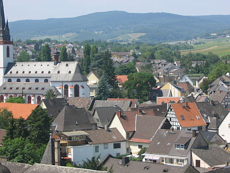
The Rheingau Mountains or Rheingau Hills form the westernmost section of the High Taunus and extend for 20 kilometres in a south-west to north-east direction between the Rhine valley near Lorch and Assmannshausen in the west and the Walluf valley near Schlangenbad in the east. The highest point is the 619-metre-high mountain of Kalte Herberge. The Rheinhöhenweg Trail on the right bank of the Rhine runs along the ridgeline of the mountains which are part of the main crest of the Taunus.
Excerpt from the Wikipedia article Rheingau Hills (License: CC BY-SA 3.0, Authors, Images).Rheingau Hills
Hans-Rothe-Weg,
Geographical coordinates (GPS) Address Nearby Places Show on map
Geographical coordinates (GPS)
| Latitude | Longitude |
|---|---|
| N 50.054817 ° | E 8.002456 ° |
Address
Kalte Herberge
Hans-Rothe-Weg
65375
Hesse, Germany
Open on Google Maps


