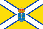
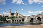
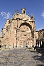
Arapiles, Castile and León
Municipalities in the Province of SalamancaProvince of Salamanca geography stubs

Arapiles is a village and municipality in the province of Salamanca, western Spain, and part of the autonomous community of Castile and León. It is located 8 kilometres (5.0 mi) from the city of Salamanca and has a population of 645 people. The municipality covers an area of 25 km2 (9.7 sq mi).The village lies 840 metres (2,760 ft) above sea level. The postal code is 37796.
Excerpt from the Wikipedia article Arapiles, Castile and León (License: CC BY-SA 3.0, Authors, Images).Arapiles, Castile and León
Calle Ancha,
Geographical coordinates (GPS) Address Nearby Places Show on map
Geographical coordinates (GPS)
| Latitude | Longitude |
|---|---|
| N 40.894166666667 ° | E -5.6447222222222 ° |
Address
Calle Ancha
Calle Ancha
37796
Castile and León, Spain
Open on Google Maps


