Mansbridge

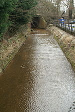
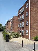
Mansbridge is a suburb on the northern perimeter of Southampton, England. The area is named after the Mans Bridge which spans the River Itchen. For a considerable time, this was the southernmost crossing point of the river, before the construction of Woodmill in Swaythling. The bridge itself still stands and is a Grade II listed structure but is closed to road traffic (pedestrians and cyclists may still use it), having been replaced by a larger and more modern road bridge to carry the A27. The suburb contains a mixture of housing. The first developments, on the north side of the A27, were designed by architect Herbert Collins, whose houses are a feature of several other Southampton districts. A larger estate was later constructed on the south side, along with Mansbridge Primary School, the logo of which is the bridge itself. The residential area of Mansbridge is bordered to the west by the London to Weymouth railway line and to the east by the river. Beyond the river, Mansbridge takes on a much more rural air, with woodland to the south and water meadows to the north. The neighbouring areas are Swaythling to the west, Townhill Park to the south, and Chartwell Green to the east. A strip of green belt land separates Mansbridge from Eastleigh to the north.
Excerpt from the Wikipedia article Mansbridge (License: CC BY-SA 3.0, Authors, Images).Mansbridge
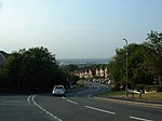
Mansbridge Road, Southampton Mansbridge
Geographical coordinates (GPS) Address Nearby Places Show on map
Geographical coordinates (GPS)
| Latitude | Longitude |
|---|---|
| N 50.9372 ° | E -1.3645 ° |
Address
Mansbridge Road
Mansbridge Road
SO18 2RN Southampton, Mansbridge
England, United Kingdom
Open on Google Maps


