Salzburger Kopf
Mountains and hills of Rhineland-PalatinateMountains and hills of the WesterwaldMountains under 1000 metres
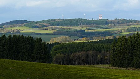
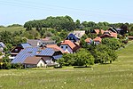
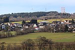
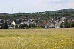
The Salzburger Kopf, at a height of 654.2 m above sea level (NN), is the third highest summit of the Westerwald after the Fuchskaute and the Stegskopf. The north side of the mountain ridge is almost treeless; in the south strips of woodland alternate with open areas. The mountain is easily identified by the transmission tower which is in the shape of a red and white, cuboid, steel frame at its summit.
Excerpt from the Wikipedia article Salzburger Kopf (License: CC BY-SA 3.0, Authors, Images).Salzburger Kopf
Am Christenrain, Rennerod
Geographical coordinates (GPS) Address Nearby Places Show on map
Geographical coordinates (GPS)
| Latitude | Longitude |
|---|---|
| N 50.671805555556 ° | E 8.055 ° |
Address
Sendeturm
Am Christenrain
56479 Rennerod
Rhineland-Palatinate, Germany
Open on Google Maps
