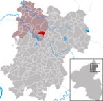
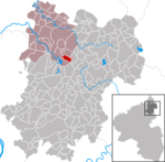
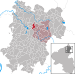
The Westerwald (German pronunciation: [ˈvɛstɐvalt] ; literally 'Western forest') is a low mountain range on the right bank of the river Rhine in the German federal states of Rhineland-Palatinate, Hesse and North Rhine-Westphalia. It is a part of the Rhenish Massif (Rheinisches Schiefergebirge or Rhenish Slate Mountains). Its highest elevation, at 657 m above sea level, is the Fuchskaute in the High Westerwald.
Tourist attractions include the Dornburg (394 metres), site of some Celtic ruins from La Tène times (5th to 1st century BC), found in the community of the same name, and Limburg an der Lahn, a town with a mediaeval centre.
The geologically old, heavily eroded range of the Westerwald is in its northern parts overlaid by a volcanic upland made of Neogene basalt layers. It covers an area of some 50 km × 70 km (31 mi × 43 mi), and therefore roughly 3,000 km2 (1,200 sq mi), making the Westerwald one of Germany's biggest mountain ranges by area. In areas of subsidence, it has in its flatter western part (Lower Westerwald) the characteristics of rolling hills. Typical for the economy of the Upper Westerwald, some 40% of which is actually wooded, are traditional slate mining, clay quarrying, diabase and basalt mining, pottery and the iron ore industry, and among other things mining in the Siegerländer Erzrevier (roughly "Siegerland Ore Grounds"). Despite its relatively slight elevation, the Westerwald has for a low mountain range a typical agreeable climate. Economically and culturally, it belongs among Germany's best known mountain ranges.
The name "Westerwald" was first mentioned in 1048 in a document from the Electorate of Trier and described at that time the woodlands (Wald is German for "forest" or "woods") around the three churches in Bad Marienberg, Rennerod and Emmerichenhain, west of the royal court at Herborn. Only since the mid 19th century has the name come into common usage for the whole range.
The High Westerwald has since the Middle Ages formed the heart of the Herrschaft zum (also vom or auf dem) Westerwald ("Lordship over the Westerwald"). This comprised the three court districts of Marienberg, Emmerichenhain and Neukirch. The Lordship later fell under the governance of the Lordship or County of Beilstein.


