Haidenweiher
IUCN Category IVLakes of the WesterwaldPonds of Rhineland-PalatinateWesterwaldkreisWied basin
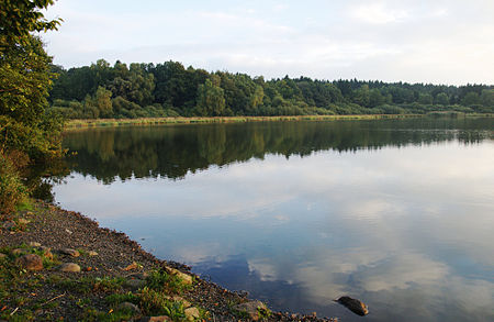
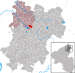
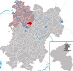
The Haidenweiher is a large pond about 1.3 kilometres (0.81 mi) southwest of the village of Dreifelden in the county of Westerwaldkreis in Germany. It has a surface area of c. 30 hectares (74 acres) and is the second largest of the Westerwald Lakes. It is linked to the Dreifelder Weiher by a drainage ditch and is used today for breeding fish. The pond was designated as a nature reserve in 1979 and is surrounded by dense woods. Rare bird species nest along its shores, especially waders.
Excerpt from the Wikipedia article Haidenweiher (License: CC BY-SA 3.0, Authors, Images).Haidenweiher
K 1, Hachenburg
Geographical coordinates (GPS) Address Nearby Places Show on map
Geographical coordinates (GPS)
| Latitude | Longitude |
|---|---|
| N 50.586111111111 ° | E 7.8144444444444 ° |
Address
Haidenweiher (Haiden-Weiher)
K 1
57629 Hachenburg
Rhineland-Palatinate, Germany
Open on Google Maps

