Alarmstange
Mountains and hills of the Westerwald

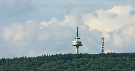
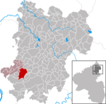
The Alarmstange, at 545.2 m above sea level (NHN), is the highest point in the Montabaur Heights, a hill ride on the southwestern edge of the Westerwald. It lies near Horressen in the county of Westerwaldkreis in the German state of Rhineland-Palatinate. Together with the Köppel and the Lippersberg, the Alarmstange forms the centre of the ridge, on which is the largest contiguous woodland area in the Westerwald.
Excerpt from the Wikipedia article Alarmstange (License: CC BY-SA 3.0, Authors, Images).Alarmstange
Lang-Guck-Weg, Montabaur
Geographical coordinates (GPS) Address Nearby Places Show on map
Geographical coordinates (GPS)
| Latitude | Longitude |
|---|---|
| N 50.424972222222 ° | E 7.7338888888889 ° |
Address
Lang-Guck-Weg
56410 Montabaur
Rhineland-Palatinate, Germany
Open on Google Maps


