Kannenbäckerland
Cultural landscapes of GermanyMayen-KoblenzPages with German IPARegions of Rhineland-PalatinateRegions of the Westerwald ... and 2 more
StonewareWesterwaldkreis
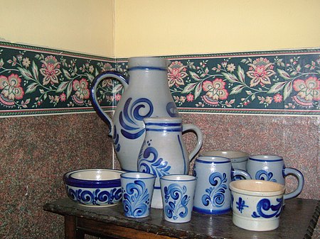
The Kannenbäckerland (German pronunciation: [ˈkanənbɛkɐˌlant]; 'potters' land', lit. 'jug bakers' land') is a cultural landscape in central Germany, which extends from Wirges in the Westerwald hills to Bendorf and Vallendar in the Middle Rhine valley. The Kannenbäckerland owes its name to the fact that, in this region, the largest clay deposit in Europe was found and, since the 16th century, has been used to make the well-known grey and blue Westerwald Pottery.
Excerpt from the Wikipedia article Kannenbäckerland (License: CC BY-SA 3.0, Authors, Images).Kannenbäckerland
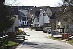
Am Bollscheid, Wirges
Geographical coordinates (GPS) Address Nearby Places Show on map
Geographical coordinates (GPS)
| Latitude | Longitude |
|---|---|
| N 50.497777777778 ° | E 7.7611111111111 ° |
Address
Am Bollscheid
Am Bollscheid
56424 Wirges
Rhineland-Palatinate, Germany
Open on Google Maps
