Parkville, Hartford, Connecticut
Geography of Hartford, ConnecticutHistoric districts in Hartford County, ConnecticutHistoric districts on the National Register of Historic Places in ConnecticutNRHP infobox with nocatNational Register of Historic Places in Hartford, Connecticut
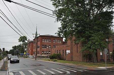
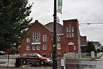
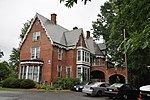
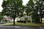
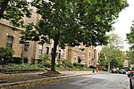
Parkville is a neighborhood on the west side of Hartford, Connecticut. Centered on Park Street and stretching from the railroad overpass just west of Pope Park to the West Hartford town line, and Capitol Avenue to Interstate 84, Parkville is a densely developed, mixed-use neighborhood that is mainly working-class. Its name is derived from its placement at the junction of the North and South Branches of the now-subterranean Park River. Most of the eastern half of the neighborhood (roughly from New Park Avenue east) was listed as a historic district on the National Register of Historic Places in 2015.
Excerpt from the Wikipedia article Parkville, Hartford, Connecticut (License: CC BY-SA 3.0, Authors, Images).Parkville, Hartford, Connecticut
Francis Avenue, Hartford
Geographical coordinates (GPS) Address External links Nearby Places Show on map
Geographical coordinates (GPS)
| Latitude | Longitude |
|---|---|
| N 41.753611111111 ° | E -72.707777777778 ° |
Address
Parkville Historic District
Francis Avenue
06106 Hartford
Connecticut, United States
Open on Google Maps


