Leiria District
Districts of PortugalLeiria DistrictPages including recorded pronunciationsPages with Portuguese IPA

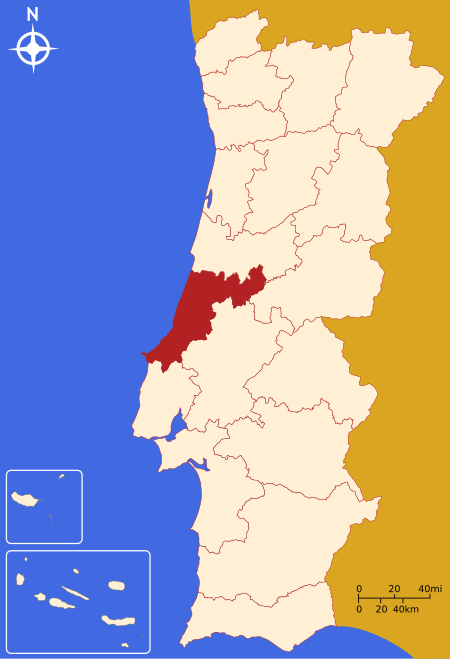
The District of Leiria (Portuguese: Distrito de Leiria [lɐjˈɾi.ɐ] ) is a district located in Centro region of Portugal, divided between the traditional provinces of Beira Litoral and Estremadura. It borders on the north with district of Coimbra, on the east with district of Castelo Branco and with district of Santarém, on the south with district of Lisbon and on the west with the ocean Atlantic. The district capital is the city of Leiria.
Excerpt from the Wikipedia article Leiria District (License: CC BY-SA 3.0, Authors, Images).Leiria District
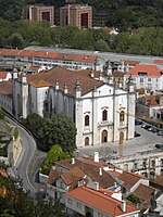
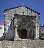
Praça Goa, Damão e Diú, Leiria São Romão (Leiria, Pousos, Barreira e Cortes)
Geographical coordinates (GPS) Address Nearby Places Show on map
Geographical coordinates (GPS)
| Latitude | Longitude |
|---|---|
| N 39.743888888889 ° | E -8.8069444444444 ° |
Address
Praça Goa, Damão e Diú
Praça Goa, Damão e Diú
2400-137 Leiria, São Romão (Leiria, Pousos, Barreira e Cortes)
Portugal
Open on Google Maps


