Tadcaster Bridge
1700s establishments in EnglandBridges in North YorkshireCollapsed buildings and structures in the United KingdomGrade II listed bridgesGrade II listed buildings in North Yorkshire ... and 3 more
River WharfeTadcasterUse British English from November 2017

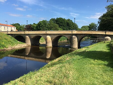
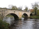
Tadcaster Bridge or Wharfe Bridge spans the River Wharfe in Tadcaster, North Yorkshire, England. The road bridge is believed to date from around 1700. It is the main route connecting the two sides of the town and one of two road crossings in the town, the other being the bridge for the A64 bypass. Tadcaster Bridge partially collapsed on 29 December 2015 after flooding that followed Storm Eva, and reopened on 3 February 2017.
Excerpt from the Wikipedia article Tadcaster Bridge (License: CC BY-SA 3.0, Authors, Images).Tadcaster Bridge
Tadcaster Bridge,
Geographical coordinates (GPS) Address External links Nearby Places Show on map
Geographical coordinates (GPS)
| Latitude | Longitude |
|---|---|
| N 53.885007 ° | E -1.259851 ° |
Address
Tadcaster Bridge
Tadcaster Bridge
LS24 9AN
England, United Kingdom
Open on Google Maps


