Murrhardt Forest
Forests and woodlands of Baden-WürttembergMountain and hill ranges of Baden-WürttembergNatural regions of the Swabian Keuper-Lias Plains

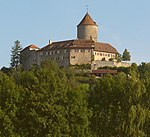
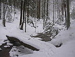
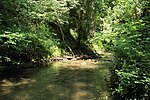
The Murrhardt Forest (German: Murrhardter Wald) in the Baden-Württemberg county of Rems-Murr-Kreis is part of the natural region known as the Swabian-Franconian Forest. It reaches a maximum height of 572 m above sea level (NHN). It takes its name from the town of Murrhardt in the centre.
Excerpt from the Wikipedia article Murrhardt Forest (License: CC BY-SA 3.0, Authors, Images).Murrhardt Forest
Wüstenbergstraße, Vereinbarte Verwaltungsgemeinschaft der Stadt Backnang
Geographical coordinates (GPS) Address Nearby Places Show on map
Geographical coordinates (GPS)
| Latitude | Longitude |
|---|---|
| N 48.97361 ° | E 9.50278 ° |
Address
Wüstenbergstraße
Wüstenbergstraße
71522 Vereinbarte Verwaltungsgemeinschaft der Stadt Backnang (Steinbach)
Baden-Württemberg, Germany
Open on Google Maps


