Cozy Dell Canyon

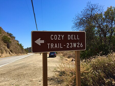
Cozy Dell Canyon is a canyon in the Topatopa Mountains immediately north of Meiners Oaks and three miles northwest of the Ojai Valley in central-western parts of Ventura County, California. It is located between Sheldon Canyon, Kennedy Canyon and McDonald Canyon, immediately east of the Ventura River. It is situated in the Los Padres National Forest and may be reached from numerous trailheads including the Cozy Dell Trail located in Ojala. It is the type locality for the Cozy Dell Shale and the name was first applied in 1928 by Kerr and Schenck. It is recognized for its natural beauty, creeks and creek beds, endemic wildflowers, diverse wildlife, rock formations, as well as panoramic views of surrounding mountains and the entire Ojai Valley. The canyon is about 5 km (3.1 mi) long and runs in a southwest direction. Its source is at an elevation of approximately 1,250 m (4,100 ft) just below Nordhoff Ridge and west of Nordhous Peak (elevation: 1,367 m (4,485 ft)). The canyon flows into the Ventura River (elevation 247 m (810 ft)) about one mile north of Meiners Oaks. California State Route 33 crosses the canyon just above its juncture with the Ventura.
Excerpt from the Wikipedia article Cozy Dell Canyon (License: CC BY-SA 3.0, Authors, Images).Cozy Dell Canyon
Cozy Del Spur,
Geographical coordinates (GPS) Address Nearby Places Show on map
Geographical coordinates (GPS)
| Latitude | Longitude |
|---|---|
| N 34.482222222222 ° | E -119.26666666667 ° |
Address
Cozy Del Spur
Cozy Del Spur
93023
California, United States
Open on Google Maps


