Dolní Lhota (Ostrava-City District)
Moravian-Silesian Region geography stubsVillages in Ostrava-City District

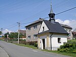
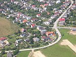
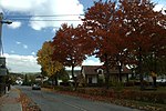
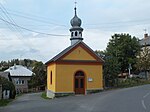
Dolní Lhota (German: Klein Ellgoth) is a municipality and village in Ostrava-City District in the Moravian-Silesian Region of the Czech Republic. It has about 1,500 inhabitants.
Excerpt from the Wikipedia article Dolní Lhota (Ostrava-City District) (License: CC BY-SA 3.0, Authors, Images).Dolní Lhota (Ostrava-City District)
Československých tankistů, okres Ostrava-město
Geographical coordinates (GPS) Address Nearby Places Show on map
Geographical coordinates (GPS)
| Latitude | Longitude |
|---|---|
| N 49.842222222222 ° | E 18.0925 ° |
Address
ZŠ a MŠ Dolní Lhota
Československých tankistů
747 66 okres Ostrava-město, Dolní Lhota u Ostravy
Moravia-Silesia, Czechia
Open on Google Maps


