Namborn
Municipalities in SaarlandSankt Wendel (district)

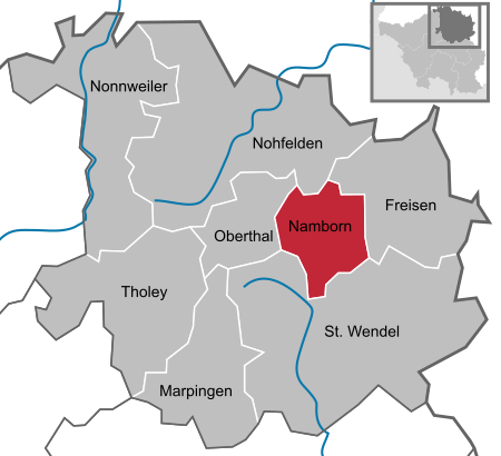
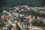
Namborn is a municipality in the district of Sankt Wendel, in Saarland, Germany. It is situated approximately 7 km north of Sankt Wendel, and 25 km southwest of Idar-Oberstein. It is approximately 40 km northeast of Saarbrücken on highway B 41 and the Nahe Valley Railway line. The distance to the Bostalsee is about 10 km, and to the county seat St. Wendel about 7 km. The most famous landmark of the community is the ruins of Liebenburg Castle on the Schloßberg in the Eisweiler district. The administrative center is located in the Hofeld-Mauschbach district because of its convenient transport links and central location.
Excerpt from the Wikipedia article Namborn (License: CC BY-SA 3.0, Authors, Images).Namborn
Dürerstraße,
Geographical coordinates (GPS) Address Nearby Places Show on map
Geographical coordinates (GPS)
| Latitude | Longitude |
|---|---|
| N 49.516666666667 ° | E 7.1333333333333 ° |
Address
Dürerstraße
Dürerstraße
66640 (Namborn)
Saarland, Germany
Open on Google Maps


