Boulter's Lock

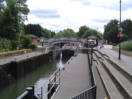
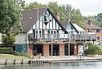
Boulter's Lock is a lock and weir on the River Thames in England north-east of Maidenhead town centre, Berkshire. The present 1912-built lock replaces those at this point of the river to the immediate east dating from the late 16th century and that of 1772 built by the Thames Navigation Commission. The lock is on the western side of the north-south flowing reach between the A4094 Maidenhead to Cookham road and Ray Mill Island. The name is variably used for the immediate surrounding area. The weir is some way upstream of the lock, at the northern end of Ray Mill Island. It is one of the most popular whitewater freestyle kayaking areas on the River Thames, as it has been modified to allow kayakers to use it without causing disruption to other river users.
Excerpt from the Wikipedia article Boulter's Lock (License: CC BY-SA 3.0, Authors, Images).Boulter's Lock
Lower Cookham Road,
Geographical coordinates (GPS) Address Nearby Places Show on map
Geographical coordinates (GPS)
| Latitude | Longitude |
|---|---|
| N 51.53329 ° | E -0.69954 ° |
Address
Lower Cookham Road
SL6 8JN , North Town
England, United Kingdom
Open on Google Maps


