Żywiec Basin
Landforms of PolandSilesian geography stubs

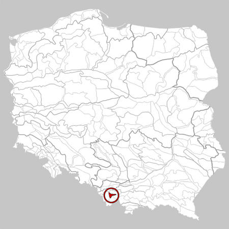
Żywiec Basin (Polish: Kotlina Żywiecka) is a lowland, located in southern Poland, between the Little Beskids to the north, Silesian Beskids to the west, Żywiec Beskids to the south and east, and Maków Beskids to the east. It has the size of around 320 km2 (120 sq mi). It is centered on the confluences of the rivers Koszarawa and Żylica with Soła close to the town of Żywiec, whence the name of the basin is derived from.
Excerpt from the Wikipedia article Żywiec Basin (License: CC BY-SA 3.0, Authors, Images).Żywiec Basin
S1,
Geographical coordinates (GPS) Address Nearby Places Show on map
Geographical coordinates (GPS)
| Latitude | Longitude |
|---|---|
| N 49.683333333333 ° | E 19.166666666667 ° |
Address
S1
34-326 , Podlesie
Poland
Open on Google Maps


