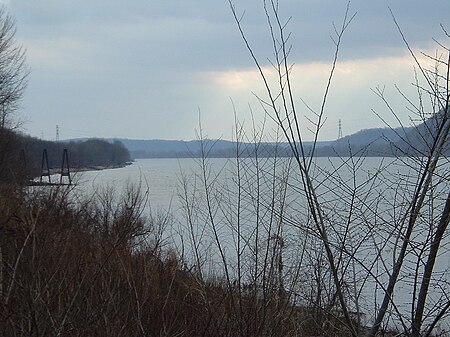
Ohio Valley in Kentucky
Landforms of KentuckyOhio RiverRiver valleys of the United States

The Ohio Valley is a sub region in Kentucky running 658 miles (1,059 km) long including parts of 25 counties and across five regions of the state. Over 45% of Kentucky's population live in counties that border the Ohio River, although those counties are only 16% of the state's land area. The Ohio Valley in Kentucky can be broken up into several categories:
Excerpt from the Wikipedia article Ohio Valley in Kentucky (License: CC BY-SA 3.0, Authors, Images).Ohio Valley in Kentucky
Geographical coordinates (GPS) Address Nearby Places Show on map
Geographical coordinates (GPS)
| Latitude | Longitude |
|---|---|
| N 38.333333333333 ° | E -85.5 ° |
Address
40056
Kentucky, United States
Open on Google Maps


