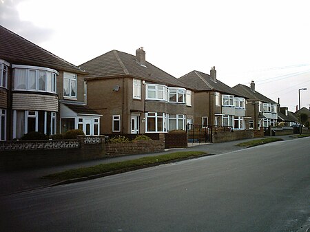
Austhorpe
Civil parishes in West YorkshireOpenDomesdayPlaces in LeedsUse British English from October 2018

Austhorpe is a civil parish and residential suburb of east Leeds, West Yorkshire, England. It is 5 miles (8.0 km) to the east of city centre and close to the A6120 dual carriageway (Leeds Outer Ring Road) and the M1 motorway.
Excerpt from the Wikipedia article Austhorpe (License: CC BY-SA 3.0, Authors, Images).Austhorpe
Austhorpe View, Leeds Whitkirk
Geographical coordinates (GPS) Address Nearby Places Show on map
Geographical coordinates (GPS)
| Latitude | Longitude |
|---|---|
| N 53.7985 ° | E -1.4411 ° |
Address
Austhorpe View
LS15 8NN Leeds, Whitkirk
England, United Kingdom
Open on Google Maps


