Sennestadt
BielefeldPlanned cities
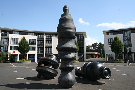
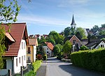
Sennestadt is a district in the South-East of the German city of Bielefeld in North Rhine-Westphalia. With some 21,000 residents, it is renowned as a remarkable feat of urban planning. The satellite town of Sennestadt was created in the 1950s, in the heathlands and grasslands of the former municipality of Senne II, in accordance with the designs of the urban planner, Hans Bernhard Reichow, and it was primarily intended for post-war displaced persons and refugees. The town's many distinctive urban planning features have attracted international attention.
Excerpt from the Wikipedia article Sennestadt (License: CC BY-SA 3.0, Authors, Images).Sennestadt
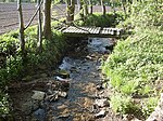
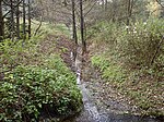
Bullerbachweg, Bielefeld Sennestadt
Geographical coordinates (GPS) Address Nearby Places Show on map
Geographical coordinates (GPS)
| Latitude | Longitude |
|---|---|
| N 51.95 ° | E 8.5833 ° |
Address
Bullerbachweg 27
33689 Bielefeld, Sennestadt
North Rhine-Westphalia, Germany
Open on Google Maps

