Belfeld
Boroughs of VenloFormer municipalities of Limburg (Netherlands)Limburg (Netherlands) geography stubsMunicipalities of the Netherlands disestablished in 2001Pages with non-numeric formatnum arguments ... and 1 more
Populated places in Limburg (Netherlands)

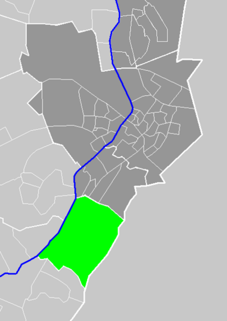
Belfeld (Limburgish: Belvend) is a village in the Dutch province of Limburg. It is a part of the municipality of Venlo, and lies about 8 km southwest of the city center of Venlo, between the river Meuse and the border with Germany. In 2001, Belfeld had 4856 inhabitants. The built-up area of the town was 1.59 km², and contained 1937 residences.In 2001 Belfeld was merged into the municipality of Venlo.
Excerpt from the Wikipedia article Belfeld (License: CC BY-SA 3.0, Authors, Images).Belfeld
Berkenhoflaan, Venlo
Geographical coordinates (GPS) Address Nearby Places Show on map
Geographical coordinates (GPS)
| Latitude | Longitude |
|---|---|
| N 51.316666666667 ° | E 6.1166666666667 ° |
Address
Berkenhoflaan
Berkenhoflaan
5951 CN Venlo
Limburg, Netherlands
Open on Google Maps


