Exeter Quay

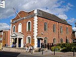
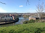
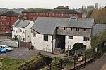
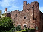
Exeter Quay, also known as Exeter Quayside, is a part of the city of Exeter next to the River Exe and the Exeter Ship Canal. It was first used as a port in prehistoric times when a sandstone ledge was used to unload the ships of overseas traders. However, by 1381 the Countess Weir had blocked the river to shipping. In 1566 a canal was completed to provide access for ships. Over time the number of ships using the quayside increased and so the quay was expanded in the late 17th century. Further expansion occurred in 1830 when a new canal basin was dug. However, in 1840 the railways reached Exeter and the shipping began to decline. No longer used for shipping, the quayside is now mostly used for leisure.A manually operated cable ferry known as the Butts Ferry crosses the Exe at Exeter Quayside.
Excerpt from the Wikipedia article Exeter Quay (License: CC BY-SA 3.0, Authors, Images).Exeter Quay
The Quay, Exeter St Thomas
Geographical coordinates (GPS) Address Nearby Places Show on map
Geographical coordinates (GPS)
| Latitude | Longitude |
|---|---|
| N 50.718 ° | E -3.53 ° |
Address
The Quay
EX2 4AN Exeter, St Thomas
England, United Kingdom
Open on Google Maps


