Poverty Beach
Barrier islands of New JerseyBeaches of Cape May County, New JerseyBeaches of New JerseyCape May, New JerseyLandforms of Cape May County, New Jersey ... and 2 more
Peninsulas of New JerseySpits of the United States

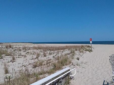
Poverty Beach or Sewell Point is a barrier spit, approximately 2.5 miles (4 km) in length entirely within the City of Cape May, along the Atlantic Ocean coast of eastern New Jersey in the United States. It is the southernmost barrier island in New Jersey.
Excerpt from the Wikipedia article Poverty Beach (License: CC BY-SA 3.0, Authors, Images).Poverty Beach
Perchard Avenue,
Geographical coordinates (GPS) Address Nearby Places Show on map
Geographical coordinates (GPS)
| Latitude | Longitude |
|---|---|
| N 38.945 ° | E -74.883333333333 ° |
Address
Cape May County Gas Heliport
Perchard Avenue
18204
New Jersey, United States
Open on Google Maps


