Low Bradfield

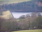
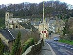
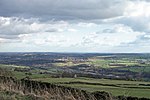
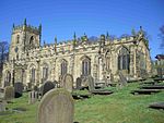
Low Bradfield is a village within the civil parish of Bradfield in South Yorkshire, England. It is situated within the boundary of the city of Sheffield in the upper part of the Loxley Valley, 6¼ miles west-northwest of the city centre and just inside the northeast boundary of the Peak District National Park. Low Bradfield and the surrounding area is noted for its attractive countryside which draws many visitors from the more urban parts of Sheffield. At weekends the village can become quite crowded, especially when there is a match on the village cricket pitch. Low Bradfield which stands in the shadow of Agden Reservoir has a sister village High Bradfield which is located at a higher altitude, ½ mile to the northeast. The two villages are joined by the steep Woodfall Lane.
Excerpt from the Wikipedia article Low Bradfield (License: CC BY-SA 3.0, Authors, Images).Low Bradfield
Smithy Bridge Road, Sheffield Bradfield
Geographical coordinates (GPS) Address Nearby Places Show on map
Geographical coordinates (GPS)
| Latitude | Longitude |
|---|---|
| N 53.4229 ° | E -1.6054 ° |
Address
Smithy Bridge Road
Smithy Bridge Road
S6 6LA Sheffield, Bradfield
England, United Kingdom
Open on Google Maps


