Litberg
GeestHills of Lower SaxonyLüneburg region geography stubs
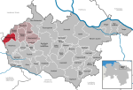
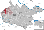
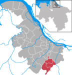
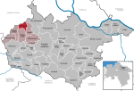
The Litberg is, at 65 metres above sea level (NN), the highest point in the district of Stade, Germany. It lies about 2.5 kilometres south of Beckdorf in the municipality of Sauensiek. The Litberg is small hill covered with birch, pine, willow and alder, which was formed from an Ice Age moraine. It forms a protected area on the geest west of the Harburg Hills.
Excerpt from the Wikipedia article Litberg (License: CC BY-SA 3.0, Authors).Litberg
Friedhofsweg, Samtgemeinde Apensen
Geographical coordinates (GPS) Address Nearby Places Show on map
Geographical coordinates (GPS)
| Latitude | Longitude |
|---|---|
| N 53.388333333333 ° | E 9.6138888888889 ° |
Address
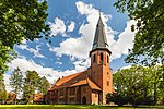
Gauß-Turm
Friedhofsweg
21644 Samtgemeinde Apensen
Lower Saxony, Germany
Open on Google Maps


