Ossulstone
History of local government in London (pre-1855)History of the City of WestminsterHistory of the London Borough of BarnetHistory of the London Borough of BrentHistory of the London Borough of Ealing ... and 7 more
History of the London Borough of EnfieldHistory of the London Borough of HackneyHistory of the London Borough of HaringeyHistory of the London Borough of HounslowHistory of the London Borough of IslingtonHistory of the London Borough of Tower HamletsHundreds and divisions of Middlesex

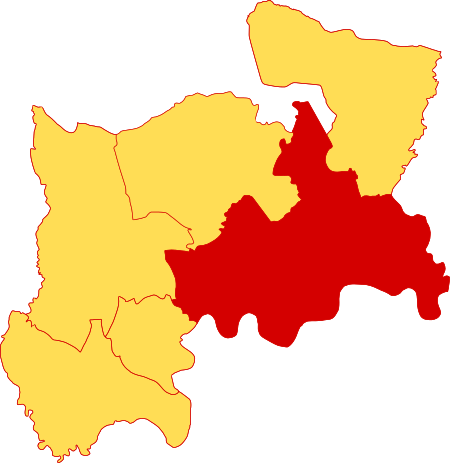
Ossulstone is an obsolete subdivision (hundred) covering 26.4% of – and the most metropolitan part – of the historic county of Middlesex, England. It surrounded but did not include the City of London and the area has been entirely absorbed by the growth of London. It now corresponds to the seven London Boroughs of Inner London north of the Thames and, from Outer London, in decreasing order, certain historic parishes of the London boroughs of Ealing, Brent, Barnet, and Haringey.
Excerpt from the Wikipedia article Ossulstone (License: CC BY-SA 3.0, Authors, Images).Ossulstone
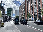
South Carriage Drive, London Belgravia
Geographical coordinates (GPS) Address Nearby Places Show on map
Geographical coordinates (GPS)
| Latitude | Longitude |
|---|---|
| N 51.512777777778 ° | E -0.16222222222222 ° |
Address
Hyde Park
South Carriage Drive
W1J 7NT London, Belgravia
England, United Kingdom
Open on Google Maps


