Batherton
Borough of Cheshire EastFormer civil parishes in CheshireVillages in Cheshire

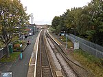
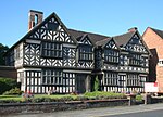
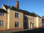
Batherton is a former civil parish, now in the parish of Stapeley and District, in the unitary authority area of Cheshire East and the ceremonial county of Cheshire, England. It lies immediately south of Nantwich and is jointly administered with the nearby settlement of Stapeley. In 2011 the parish had a population of 124. The River Weaver runs along the western boundary, and its floodplain provides a habitat for wetland species, including the great crested newt and the nationally rare black poplar (Populus nigra subspecies betulifolia).
Excerpt from the Wikipedia article Batherton (License: CC BY-SA 3.0, Authors, Images).Batherton
Audlem Road,
Geographical coordinates (GPS) Address Nearby Places Show on map
Geographical coordinates (GPS)
| Latitude | Longitude |
|---|---|
| N 53.053 ° | E -2.511 ° |
Address
Audlem Road 139
CW5 7QJ , Millfields
England, United Kingdom
Open on Google Maps


