Roggenstede
Towns and villages in East FrisiaVillages in Lower Saxony
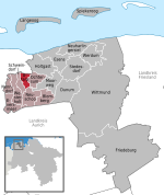
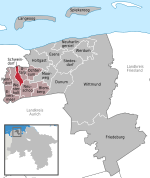
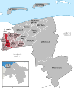
Roggenstede is a village of Dornum township, Landkreis Aurich, Ostfriesland, Lower Saxony, Germany. The place is bounded by the Dornumersieler Tief (in the North/Northeast), the Schleitief (in the Southeast), the Otjetief (in the South), the Alte Tief (in the West) and covers an area of about 5,6 square kilometers. The distance to the North Sea is about 5,5 km air-line distance. Neighbouring places are Fulkum, Utarp and Westerbur. The postal code of Roggenstede is 26553, the area code is +49 (0) 49 33.
Excerpt from the Wikipedia article Roggenstede (License: CC BY-SA 3.0, Authors).Roggenstede
Hammerweg,
Geographical coordinates (GPS) Address Nearby Places Show on map
Geographical coordinates (GPS)
| Latitude | Longitude |
|---|---|
| N 53.633333333333 ° | E 7.4833333333333 ° |
Address
Hammerweg
Hammerweg
26553
Lower Saxony, Germany
Open on Google Maps


