Gau Westphalia-North
1933 establishments in Germany1945 disestablishments in GermanyNazi GaueStates and territories disestablished in 1945States and territories established in 1931 ... and 1 more
Westphalia

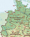
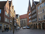
The Gau Westphalia-North (German: Gau Westfalen-Nord) was an administrative division of Nazi Germany encompassing the Free State of Lippe, the Free State of Schaumburg-Lippe and the northern half of the Prussian province of Westphalia between 1933 and 1945. From 1931 to 1933, it was the regional subdivision of the Nazi Party for these areas.
Excerpt from the Wikipedia article Gau Westphalia-North (License: CC BY-SA 3.0, Authors, Images).Gau Westphalia-North
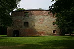
Freiherr-vom-Stein-Platz, Münster Innenstadtring (Münster-Mitte)
Geographical coordinates (GPS) Address Nearby Places Show on map
Geographical coordinates (GPS)
| Latitude | Longitude |
|---|---|
| N 51.961944444444 ° | E 7.6355555555556 ° |
Address
Freiherr-vom-Stein-Platz
Freiherr-vom-Stein-Platz
48145 Münster, Innenstadtring (Münster-Mitte)
North Rhine-Westphalia, Germany
Open on Google Maps


