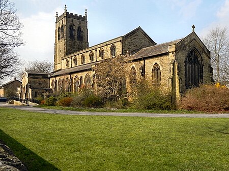
Pennington, Greater Manchester
Areas of Greater ManchesterGeography of the Metropolitan Borough of WiganLeigh, Greater Manchester

Pennington, a suburb of Leigh, Greater Manchester is one of six townships in the ancient ecclesiastical parish of Leigh, that with Westleigh and Bedford merged to form the town of Leigh in 1875. The township of Pennington covered most of Leigh's town centre.
Excerpt from the Wikipedia article Pennington, Greater Manchester (License: CC BY-SA 3.0, Authors, Images).Pennington, Greater Manchester
Astley Street,
Geographical coordinates (GPS) Address Phone number Website Nearby Places Show on map
Geographical coordinates (GPS)
| Latitude | Longitude |
|---|---|
| N 53.494 ° | E -2.4998 ° |
Address
St Thomas' CofE Primary School, Leigh (St Thomas' Church Of England Primary School)
Astley Street
WN7 2AS
England, United Kingdom
Open on Google Maps


