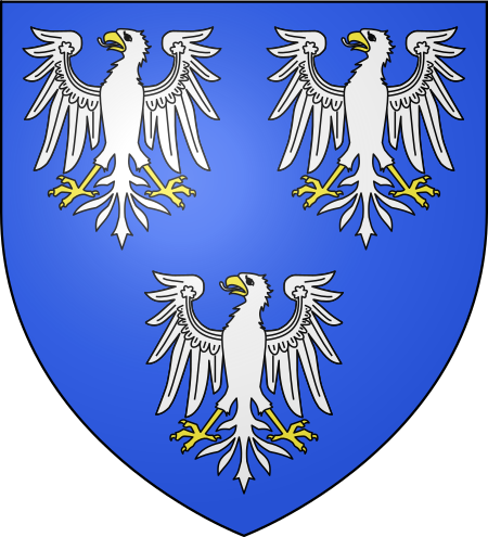
County of Leiningen
Accuracy disputes from November 2016All accuracy disputesCounties of the Holy Roman EmpireFormer states and territories of Rhineland-PalatinateLeiningen family ... and 1 more
Upper Rhenish Circle

The County of Leiningen consists on a group of counties (some of them with that were ruled with Imperial immediacy), which were ruled by the Leiningen family. Most of these counties were annexed by the First French Republic in 1793, after French troops conquered the Left Bank of the Rhine during the War of the First Coalition. Several family branches subsequently received secularized abbeys as compensation, but shortly afterwards, these new counties were mediatized and the family lost its immediacy. Today, the only existing branch is that of the Princes of Leiningen.
Excerpt from the Wikipedia article County of Leiningen (License: CC BY-SA 3.0, Authors, Images).County of Leiningen
Talstraße, Leiningerland
Geographical coordinates (GPS) Address Nearby Places Show on map
Geographical coordinates (GPS)
| Latitude | Longitude |
|---|---|
| N 49.54 ° | E 8.14 ° |
Address
Talstraße 4
67271 Leiningerland, Neuleiningen-Tal
Rhineland-Palatinate, Germany
Open on Google Maps


