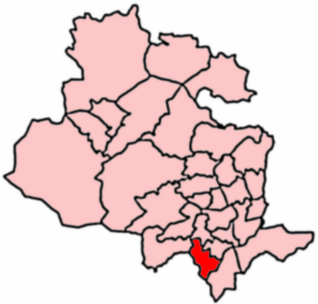
Royds, Bradford
Use British English from January 2022Wards of BradfordWest Yorkshire geography stubs

Royds (population 16,350 - 2001 UK census) is a ward within the City of Bradford Metropolitan District Council in the county of West Yorkshire, England. The population at the 2011 Census was 17,360.Starting from the north end of Royds, the areas covered are Horton Bank Bottom which is shared with Great Horton Ward, then Buttershaw which makes the bulk of the ward, then a portion of the south-west side of Wibsey village. South of Halifax Road is Woodside, east of which is part of Low Moor village, the rest of which is in Wyke ward. At the south end of the ward is the more rural hamlet of Royds Hall.
Excerpt from the Wikipedia article Royds, Bradford (License: CC BY-SA 3.0, Authors, Images).Royds, Bradford
Chapel Road, Bradford Low Moor
Geographical coordinates (GPS) Address Nearby Places Show on map
Geographical coordinates (GPS)
| Latitude | Longitude |
|---|---|
| N 53.753 ° | E -1.762 ° |
Address
Chapel Road
Chapel Road
BD12 0QJ Bradford, Low Moor
England, United Kingdom
Open on Google Maps


