Schweinskopf (Hinterland)
Mountains of Hesse

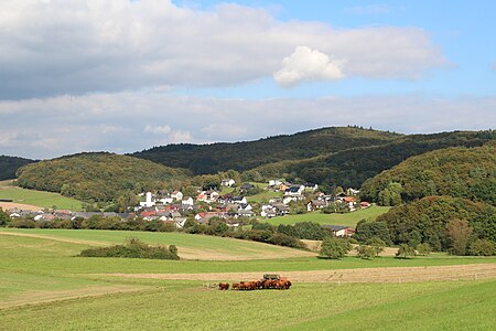
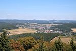
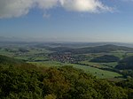
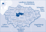
The Schweinskopf is a hill, 473 metres high, in the German state of Hesse. The hill is part of the Damshausen Heights (Damshäuser Kuppen). Situated on the edge of the village of Friedensdorf, it is the highest elevation in the parish. After the Rimberg (497.1 m) and the Kappe (493.5 m), it is the third highest summit in the Damshausen Heights and highest point of the western part of the range.
Excerpt from the Wikipedia article Schweinskopf (Hinterland) (License: CC BY-SA 3.0, Authors, Images).Schweinskopf (Hinterland)
K 73, Dautphetal
Geographical coordinates (GPS) Address Nearby Places Show on map
Geographical coordinates (GPS)
| Latitude | Longitude |
|---|---|
| N 50.831663 ° | E 8.570671 ° |
Address
K 73
35232 Dautphetal
Hesse, Germany
Open on Google Maps


