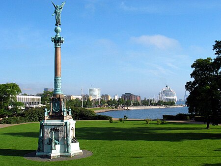
Indre Østerbro

Indre Østerbro (lit. English, "Inner Østerbro"), is one of the 15 administrative, statistical, and tax city districts ("bydele") comprising the municipality of Copenhagen, Denmark. It lies on the eastern edge of the municipality. It covers an area of 6.76 km², has a population of 46,095 and a population density of 6,817 per km². Neighboring city districts are as follows: to the northwest is Ydre Østerbro to the west is Ydre Nørrebro to the southwest is Indre Nørrebro to the south is the Indre By, also known as "Copenhagen Center" or "Downtown Copenhagen" or "City" to the east and north is the Øresund, the strait which separates the island of Zealand from SwedenColloquially, the Indre Østerbro ("Inner Østerbro"), along with its neighboring city district to the northwest – Ydre Østerbro ("Outer Østerbro") – are sometimes collectively referred to as "Østerbro". But technically they are two separate legal units within Copenhagen municipality.
Excerpt from the Wikipedia article Indre Østerbro (License: CC BY-SA 3.0, Authors, Images).Indre Østerbro
Geographical coordinates (GPS) Nearby PlacesShow on map
Geographical coordinates (GPS)
| Latitude | Longitude |
|---|---|
| N 55.7 ° | E 12.583333333333 ° |


