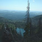
Bienstand
Freyung-GrafenauMountains of BavariaMountains of the Bavarian ForestMountains under 1000 metres
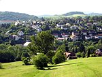
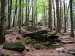
The Bienstand, in several histories and novels called the Bistand, is a low mountain ridge, 865 m high, in the Bavarian Forest between the villages of Sankt Oswald-Riedlhütte and Grafenau, immediately south of the clearly higher mountains of the Rachel and Lusen, which lie within the Bavarian Forest National Park. Its name probably comes from the Middle High German ("bien"="near" and "stand"="forest pasture", see also Kirchlinger Stand) and means "near the forest pasture".
Excerpt from the Wikipedia article Bienstand (License: CC BY-SA 3.0, Authors).Bienstand
Lusenäcker, Sankt Oswald-Riedlhütte
Geographical coordinates (GPS) Address Nearby Places Show on map
Geographical coordinates (GPS)
| Latitude | Longitude |
|---|---|
| N 48.8941 ° | E 13.3936 ° |
Address
Themenwanderweg
Lusenäcker
94566 Sankt Oswald-Riedlhütte
Bavaria, Germany
Open on Google Maps
