Calenberg
Hanover (region)Hills of Lower Saxony

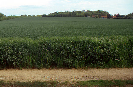
The Calenberg is a hill in central Germany in the Leine depression near Pattensen in the municipality of Schulenburg. It lies 13 km west of the city of Hildesheim in south Lower Saxony on the edge of the Central Uplands. It is made from a chalk marl slab (Kalkmergelbank), has a height of 70 m above NN and was formed almost 100 million years ago at the beginning of the Upper Cretaceous series in Cenomanian stage. The Calenberg became historically important as a result of the fort, stronghold and castle built as the main residence of the House of Hanover.
Excerpt from the Wikipedia article Calenberg (License: CC BY-SA 3.0, Authors, Images).Calenberg
Zum Calenberg,
Geographical coordinates (GPS) Address Nearby Places Show on map
Geographical coordinates (GPS)
| Latitude | Longitude |
|---|---|
| N 52.1984 ° | E 9.795 ° |
Address
Zum Calenberg 12
30982
Lower Saxony, Germany
Open on Google Maps


