Harrietsham
Borough of MaidstoneCivil parishes in KentKent geography stubsVillages in Kent

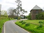
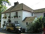
Harrietsham is a rural and industrial village and civil parish in the Maidstone District of Kent, England noted in the Domesday Book. According to the United Kingdom Census 2001, it had a population of 1,504, increasing to 2,113 at the 2011 Census. The parish is in the North Downs, 7 miles (10 km) east of Maidstone and includes the settlements of Marley, Pollhill and Fairbourne.
Excerpt from the Wikipedia article Harrietsham (License: CC BY-SA 3.0, Authors, Images).Harrietsham
Forge Meadow,
Geographical coordinates (GPS) Address Nearby Places Show on map
Geographical coordinates (GPS)
| Latitude | Longitude |
|---|---|
| N 51.243 ° | E 0.673 ° |
Address
Forge Meadow
Forge Meadow
ME17 1JE
England, United Kingdom
Open on Google Maps


